
Researcher
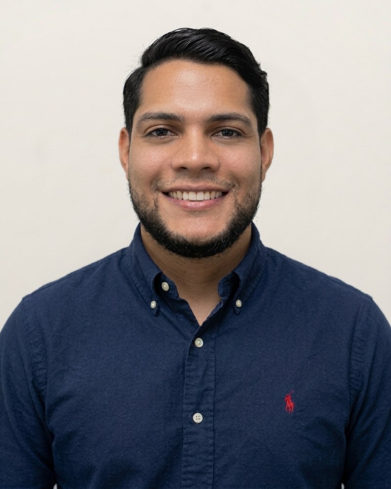
Juan David Medina Olivera
MSc in Geography – Biologist
Profile
Programme 2
Energy, economic and environmental assessment
Lines
Juan David Medina Olivera is a biologist from Universidad de Sucre and holds an MSc in Geography from Universidad de Córdoba, with a thesis that characterised the structural connectivity of the tropical dry forest in the Montes de María ecoregion, in the Colombian Caribbean. He works on remote sensing, geographic information systems, geomatics and spatial data analysis, including cartography, spatial modelling, geostatistics, GNSS and drones.
His work focuses on conservation, environmental land management and production systems, in terrestrial and marine-coastal ecosystems. He has studied land-cover change in the tropical dry forest and, with Ricardo Tatis Díaz, used remote sensing and Google Earth Engine to assess blue carbon exposure in the mangroves of Cispatá Bay, in an article published in Earth in 2026. At INGEBIR he brings spatial analysis and remote sensing to the group's environmental studies.
He has more than four years of experience in designing business, territorial, innovation, technology and sustainability development projects with the General Adjusted Methodology (MGA) of Colombia's National Planning Department, and in using geographic information systems for territorial diagnosis and planning. He worked on territorial analysis and project design at ELEVVA Construcción y Consultoría and Fundación PROCARIBE, and supported the geospatial component of a mangrove restoration project in Cispatá Bay with Corporación CEIBOS.
Areas of expertise
- Remote sensing
- Geographic information systems
- Geomatics
- Cartography and spatial modelling
- Geostatistics
- GNSS and drones
- Landscape ecology and conservation
- Environmental land management
- Project design with the MGA
Education
- 2020 – 2024
MSc in Geography
Universidad de Córdoba
- 2012 – 2019
Biology
Universidad de Sucre
Further training
- 2022
Drone technology applied to field biology
Asociación Colombiana de Ciencias Biológicas
- 2022
GIS challenge from scratch, environment and biodiversity
Instituto Ambiental GIS
- 2024
Implementation of community plans in rural organisations
SENA
- 2024
Advice on the use of ICT in training
SENA
- 2024
Diploma in Digital Transformation in Educational Institutions
Fundación Universitaria Católica del Norte
Applications of geographic information systems for territorial analysis
Esri Colombia
Experience
- 2025 – 2026
Territorial analysis and project design professional
ELEVVA Construcción y Consultoría
- 2024
GIS and geospatial analysis support professional, mangrove restoration project in the Cispatá Bay DRMI
Corporación CEIBOS
- 2022 – 2024
Project design support professional using the MGA
Fundación PROCARIBE
Academic review
- Project reviewer for Minciencias and Corporación Universitaria del Caribe (2021 and 2022).
- Judge and pedagogical adviser for the ExpresArte ConCiencia 2 competition of Minciencias' Ondas Programme (2021).
- Evaluator at the municipal science, technology and innovation fairs of Ondas Sucre (2021).
-
2026